|
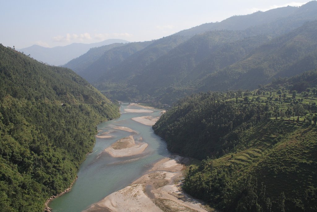 |
| Along the road to Kathmandu | |
| Latitude: N 27°45'57,06" | Longitude: E 85°52'31,85" | Altitude: 821 metres | Location: Bansaghu | State/Province: Madhyamanchal | Country: Nepal | Copyright: Ron Harkink | See map | |
| Total images: 15 | Help | |
|
|
|
| Along the road to Kathmandu | |
| Latitude: N 27°45'57,06" | Longitude: E 85°52'31,85" | Altitude: 821 metres | Location: Bansaghu | State/Province: Madhyamanchal | Country: Nepal | Copyright: Ron Harkink | See map | |
| Total images: 15 | Help | |